Trip duration: 6 hours for the hike, about 4 day road trip to get their | Approx cost: N/A | When: June
Doinit factor: The most northerly point in Europe!
High up in Norway’s polar region lies Nordkapp. Translated to ‘North Cape’ it’s often yet inaccurately credited as Europe’s most northern point. In fact if you are up for a moderate hike you can get a little further north where much fewer visitors venture.
Nordkapp is essentially a 300 metre cliff which towers above the Berets Sea. At the top, sits the visitor centre, restaurant, handful of monuments and most notably a carved out passage leading to an opening in the cliff face where you can view the ocean. Nordkapp is well on the tourist trail, reachable by a single road (E69) which terminates at the visitor centre. Entrance to the visitor entre is 275 nok (£26) per person. It is true this is probably the most northerly point you can reach by car but on foot you can go further.
For the purists whom aren’t satisfied by the latitude on offer by Nordkapp’s visitor centre, then you’ll be pleased to know that many adventurous souls press on to the neighbouring point of Knivskjellodden, which is in fact over a kilometre further north, and a stronger contender for Europe’s most northern point.
Reaching Knivskjellodden will not be as straight forward as arriving at Nordkapp but the rewards are greater. The route starts at a small car park about 7km south of Nordkapp, and runs for 8km (5 miles) to the finishing point. A small information point maps out the area. From the start point, one should follow the red T’s and stone cairns which are marked out along the route. Whilst a map may not be necessary in clear weather conditions if fog sets in (which could happen) suddenly the next marker will not always be visible. The actual trail itself isn’t as well defined as you may expect, meaning it’s quite possible to get lost. Carrying some form of GPS device capable of getting you back to the car park would be a wise move.
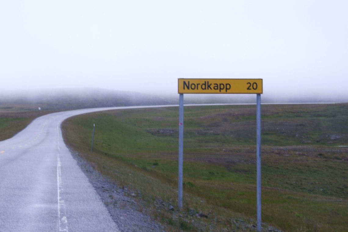
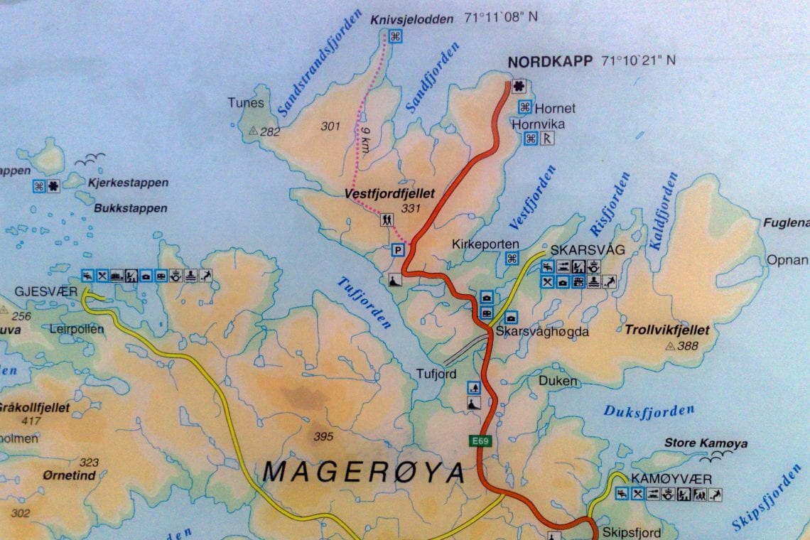
Above: Approaching Nordkapp | Information board at the start of the trail
The three hour hike will take you across a relatively shallow gradient past lakes, muddy bogs and grassy plateaus before making a steep descent to sea level. Shortly afterwards, there’s a small stream which runs into the sea. The modest bridge is the only evidence that man has ever stepped foot in this part of the world and it’s recommended to take a few minutes to cast your eyes around the spectacular situation your’e in and to fully absorb the sense of remoteness. Looking around, you’ll be surrounding valley walls and only the ocean in front sparks your intuition to head towards it. The final section can be tricky on the ankles as it hugs the coastline taking you along slanted rocky shores for a further kilometre.
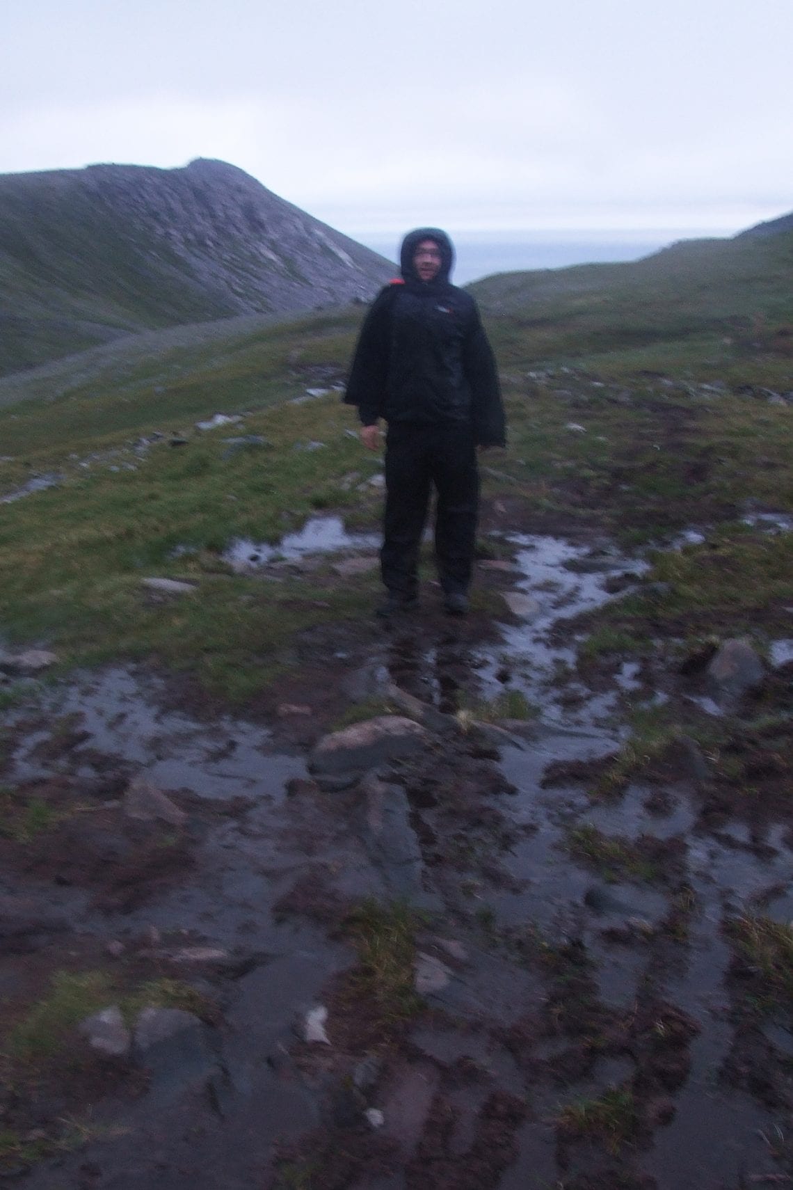
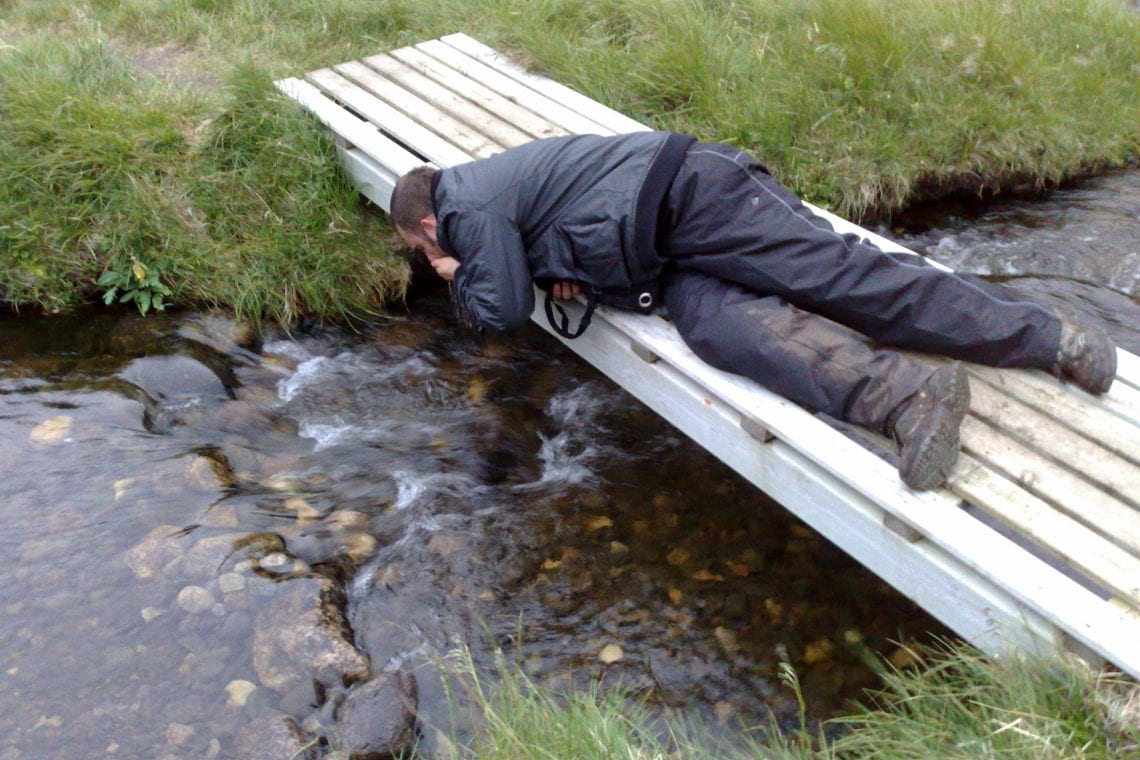
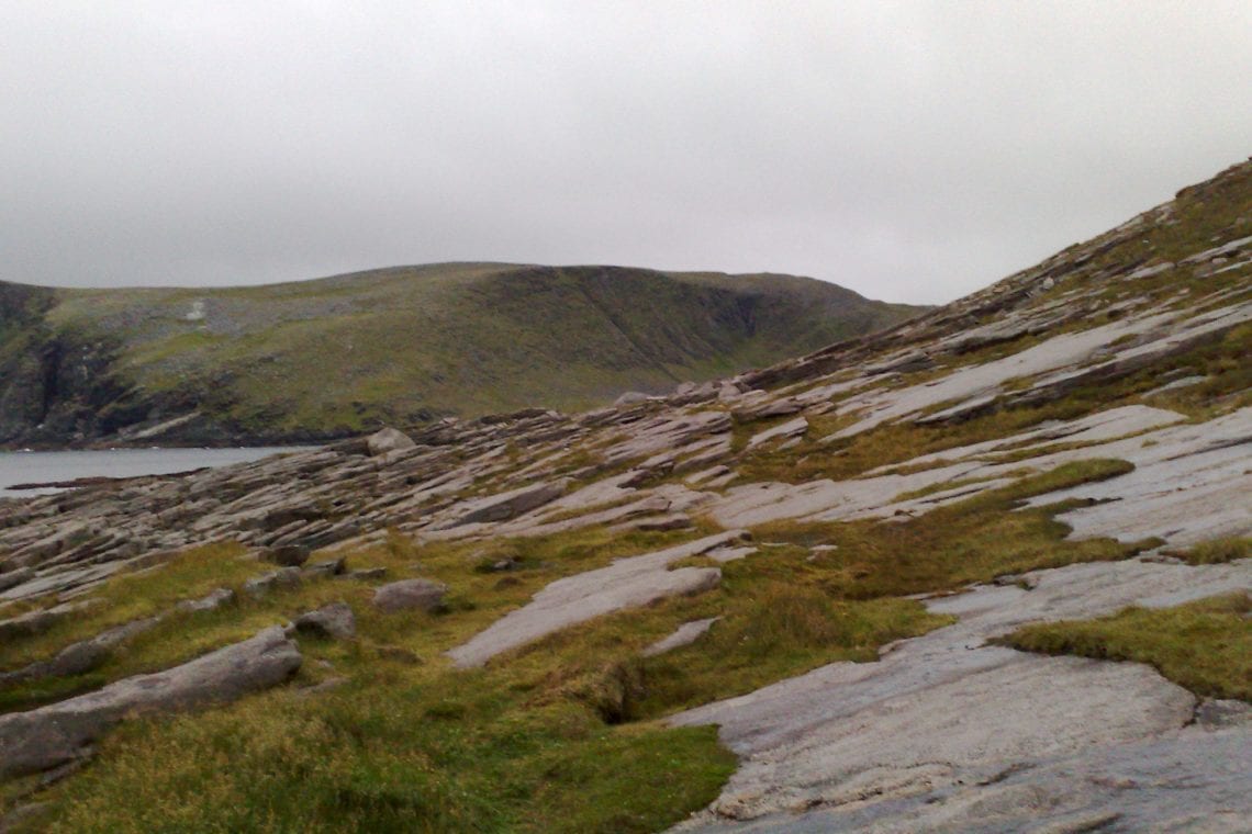
Above: The weather is pretty miserable and its very muddy | Drinking from the stream after working up a sweat | Final section is for slanted rocks which certainly is not for for ones ankles
The end point is marked with a metal box containing a guest book, where you can record your achievement and join the list of people that have undertaken such a memorable experience before you. At this point, it’s possible to walk right down to the sea a further few metres away, before you truly can not walk any further. Beyond the horizon just over 1300 miles away lies the north pole.
Returning to your starting point is along the same route so factor that in. Though it’s a three hour hike, it’s also a three hour hike back totaling 16km (10 miles) of walking.The harsh winters mean that the only viable option to embark on a trip to Nordkapp and/or Knivskjellodden is over the summer months. The road to Nordkapp is closed in the winter. Bear in mind that the summer months in the Polar Regions won’t necessarily mean warm and sunny. The extreme latitudes mean that visitors can experience 24hour daylight, so take on this track at anytime of the day. Midnight sun is visible between 14 May-29 July.
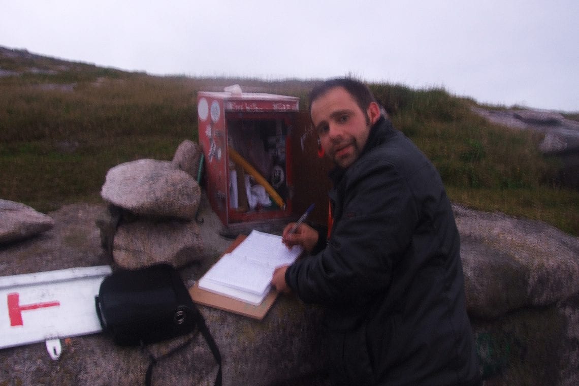
Above: Signing the book with Jiri at the most northerly point in Europe at midnight
So, after all this, can one say that they’ve been to the most northern point of Europe? No… well, sort of. Both Nordkapp and Knivskjellodden are positioned on the island of Magerøya which is joined to the mainland by a 4.27 mile undersea tunnel (tolled at 145 NOK (£16) for a car plus an additional 47 NOK (£5) per adult each way). This means it’s the northernmost point which you can reach by car or foot. But strictly speaking it’s not part of the mainland Europe. The actual northernmost point of “mainland” Europe lies at a lower latitude, at Cape Nordkinn.
WHERE TO STAY
Wild camping is probably your best bet
USEFUL LINKS
- Website of the Nordkapp visitor centre
- Drive to Nordkapp on the Murmansk Challenge